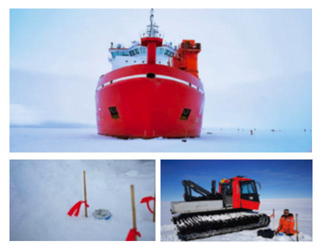
Equipment model: SmartSolo IGU-BD3C-5
Number of units: 100
Research Overview:
Integrated geophysical investigations including geomagnetic, seismic and aeromagnetic gravimagnetic are necessary to understand the tectonic history of the Antarctic. The resolution of the ice sheet and uppermost structures obtained by these geophysical methods is relatively low. Although ice-penetrating radar can provide high-resolution reflectivity images of the ice sheet, it does not provide constraints on the physical properties beneath the ice that are important for geological understanding of the Antarctic continent. In order to obtain high-resolution images of the ice sheet and uppermost crustal structure beneath Mount Rathman in Prizefinder Bay, East Antarctica, scientists conducted an ambient noise seismic experiment with 100 SmartSolo short-period seismometers spaced at 200m intervals.
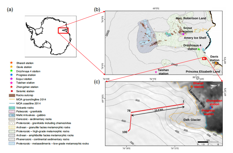
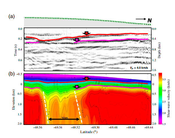
This study, the first of its kind in Antarctica, may reveal a near-vertical ice-sheet-covered intrusive rock with a horizontal extent of up to 4 km. The results of this study contribute to a deeper understanding of the subglacial environment and geological evolution in the Rathmann Hills region of Prizefinder Bay, East Antarctica.